
Romeoville Neighbors by Official Source
A block lookup combines sources with different meanings. Romeoville GIS maps parcel shape and exposes selected parcel fields. The Will County assessment roll identifies the assessed owner. Recorded deeds document transfers. Permit records concern work at an address. Civic links identify organizations, not their members. None of these is a complete household roll.
| Block source | What it can show nearby | Public route |
|---|---|---|
| Village parcel layer | Parcel geometry, situs, PIN, zoning, subdivision, selected owner fields | Public GIS and REST schema |
| SOA property roll | Assessment parcel and owner record | Address, PIN, subdivision, or owner search |
| Recorder index | Document parties and transfers tied to parcels | Direct Search; archives for older records |
| Building permits | Public permit or project records tied to an address | Village Community Development or FOIA |
| Civic organizations | Nearby groups and public contact routes | Village Quick Links |
An owner's mailing address may differ from the property's situs, or physical address. A deed party may never have occupied the parcel. Renters and household members often do not appear in property records at all. Phrase conclusions narrowly: “the assessment roll lists an owner” is supported; “this person lives here” may not be.
Romeoville Parcel Fields on a Block
The Romeoville owner-information parcel layer exposes street number and name, unit, city, state, ZIP Code, coordinates, PIN, zoning, lot area, owner-address components, subdivision, last-updated date, a secondary owner field, and geometry. A sample query exceeded its transfer limit, so a bulk response can be incomplete. Work from one located parcel and click outward.
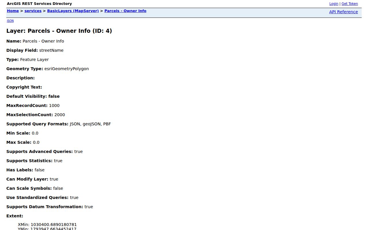
The screenshot documents the schema, not a resident roster. Redact personal owner-address details from any saved example and retain the layer's update date.
- Parcel
- A mapped unit of land tied to a tax identification record.
- PIN
- The parcel identification number used across assessment and deed research.
- Situs address
- The property's physical location, which may differ from an owner's mail address.
- Subdivision
- A recorded land division name, not proof of a civic group's membership area.
Map a Romeoville Neighbor Block
Use Village My Place or the parcel layer to find the anchor address. Confirm the PIN in the County assessment portal before gathering adjacent parcels. That check guards against selecting a similarly named street, a mailing-city match outside Village limits, or an old address label.
- Enter the full street address or PIN in Village My Place GIS.
- Check Village Limits, parcel, zoning, and subdivision layers. Record the map date and anchor PIN.
- Select the parcels that physically touch or face the anchor lot. Do not expand into a citywide owner list.
- Confirm each relevant PIN through Will County Property Search, then use the deed index only when a transfer question remains.
This flow is address → Village parcel → adjacent geometry → County PIN → assessed owner → recorded deed if needed. For every parcel along a full named road, switch to the Romeoville street directory workflow.
Romeoville Neighborhood Map Names
Official map material includes names such as Hampton Park, Old Romeoville, Lakewood Falls, Meadowdale, and Marquette. Use a subdivision label to orient nearby parcels and locate a plat. Do not assume the mapped name equals an HOA boundary, postal area, school attendance area, or legal municipality.
Romeoville's BasicLayers service also supplies Village Limits and annexation labels. The annexation legend carries year groupings from 1895 through recent periods. Those labels are valuable geography, but a parcel's displayed year still needs the underlying legal record before it is described as a specific annexation act.
Township and library lines add another layer. White Oak's history documents a 2008 territory transfer that included DuPage portions and future Romeoville areas such as Carillon. That explains why public-service records can group nearby homes differently from the Village map.
Romeoville Civic Groups Nearby
The Village's community organization links point to public-facing groups such as the American Legion, Scouts, Kiwanis, Chamber, and canal heritage organizations. These links help identify programs and meeting contacts near an address. They do not establish that any neighbor belongs to a group.
Village civic links
Use the official category as the current route to community organizations and public programs.
Historical Society
The Romeoville Area Historical Society holds family, business, school, map, and organization material by inquiry.
White Oak Library
The Romeoville Branch provides local-history collections and newspaper microfilm for older block context.
The Historical Society's map of first Hampton Park homeowners is a rare bridge between people and streets. Use it for family and neighborhood history, and ask the Society about access rather than turning it into a current directory.
Romeoville Layers Beyond Owners
Village GIS links maps for zoning, subdivisions, political districts, school areas, police beats, parks, tax increment financing areas, and enterprise zones. These layers answer where a parcel sits within a service or planning area. They should not be used to infer a person's habits, school enrollment, views, or safety risk.
Building records can add property context. The Romeoville building-permit route explains the local permit process, while a targeted Village FOIA request can seek an existing non-exempt permit or code record by address. Ask for a named record and date range. A permit applicant or contractor field is not proof of residence.
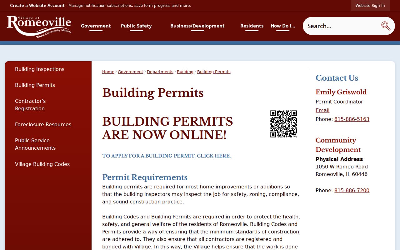
The permit page is a route to property work records. It supplements parcel data without becoming a list of Romeoville neighbors.
Romeoville Official and Commercial Results
Official records are narrower than commercial neighbor-search products, but their source and purpose are easier to verify. Commercial compilations may merge stale addresses, phone data, and unrelated people. They are described here only as a category and are not linked or recommended.
| Source type | Strength | Limit |
|---|---|---|
| Village or County GIS | Mapped parcel and agency fields | Informational, not a survey or occupancy roll |
| Assessment roll | Custodian-backed assessed owner and parcel | Can lag transfers; owner is not always occupant |
| Recorder document | Recorded instrument and legal description | Names document parties, not the whole household |
| Commercial compilation | May combine many sources | Unknown refresh dates, false matches, and weak provenance |
Choose the least intrusive official record that answers the question. Preserve its date, URL, custodian, and exact field label.
Privacy for Romeoville Neighbors
Public parcel data does not make every fact about nearby people fair to collect or repeat. Household members, renters, utility accounts, delivery information, private contact details, and daily routines are not established by a parcel owner field. Voter lookup is an election service with required identity and address fields, not a block directory or bulk export.
Illinois's Address Confidentiality Program provides an eligible survivor with a substitute address for selected government uses. Never try to defeat a substitute address by combining sources. Court sealing, adoption confidentiality, vital-record rules, and statutory redactions also remain in force when an adjacent parcel has a missing or limited field.
Lawful use. Look up Romeoville neighbors for civic contact, reconnecting, property awareness, or personal safety. Never use public data to watch, harass, threaten, or intimidate anyone.
When a map or record appears wrong, contact its custodian. Romeoville FOIA accepts requests for existing non-exempt municipal records. County assessment or mapping discrepancies belong with the relevant County or township office. Do not fill a gap with a guessed identity.
Romeoville Parcel Alert Context
The Will County Property Fraud Alert can notify a subscriber when a document is recorded under supplied criteria. An alert is not proof of fraud. Verify the recording number and image with the Recorder before drawing a conclusion.
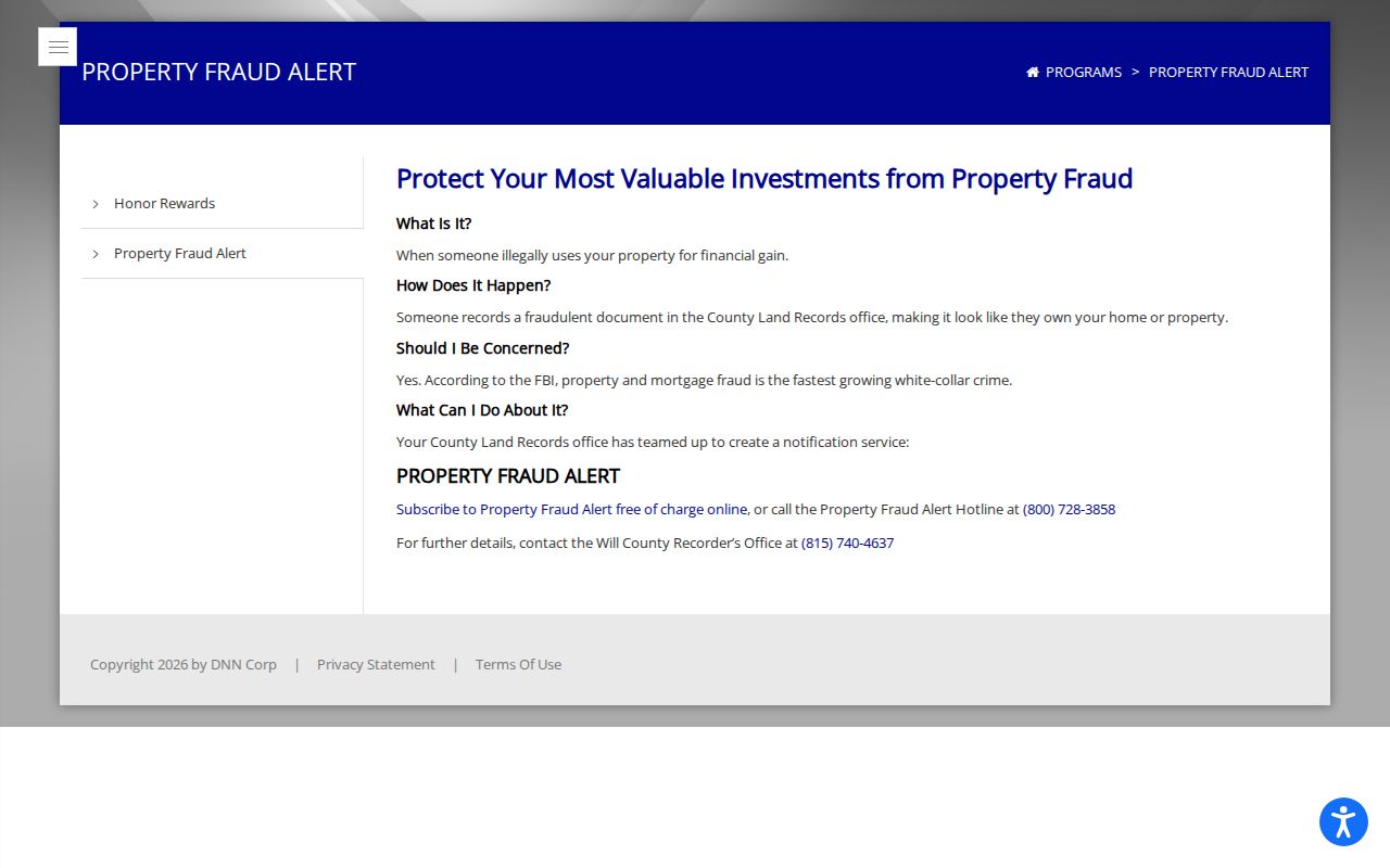
The service is useful for one's own property awareness, not monitoring unrelated neighbors. Recorder archive stations, phone help, copy requests, and FOIA remain available when the online index does not answer a specific recording question.
A responsible block file should remain small. Save the anchor address, adjacent PINs needed for the question, map layer names, source dates, and any public document numbers. Avoid compiling birth dates, phone numbers, private email addresses, signatures, or owner-mail fields. Those details are not needed to understand parcel geometry or a nearby recorded transfer.
If an ownership alert or map result raises concern, contact the responsible office. The Recorder lists 815-740-4637 for recording questions. Romeoville Police routes police records through Village procedures, while County assessment and mapping errors belong with the SOA or GIS office. A portal mismatch is a reason to verify, not a reason to confront a nearby person.
The same restraint applies to historic research. Newspaper items, maps, and the Historical Society's Hampton Park material can describe how a block developed. They should not be used to make claims about current Romeoville neighbors. Label old evidence by year and collection, then stop when the public record no longer answers the lawful question.